


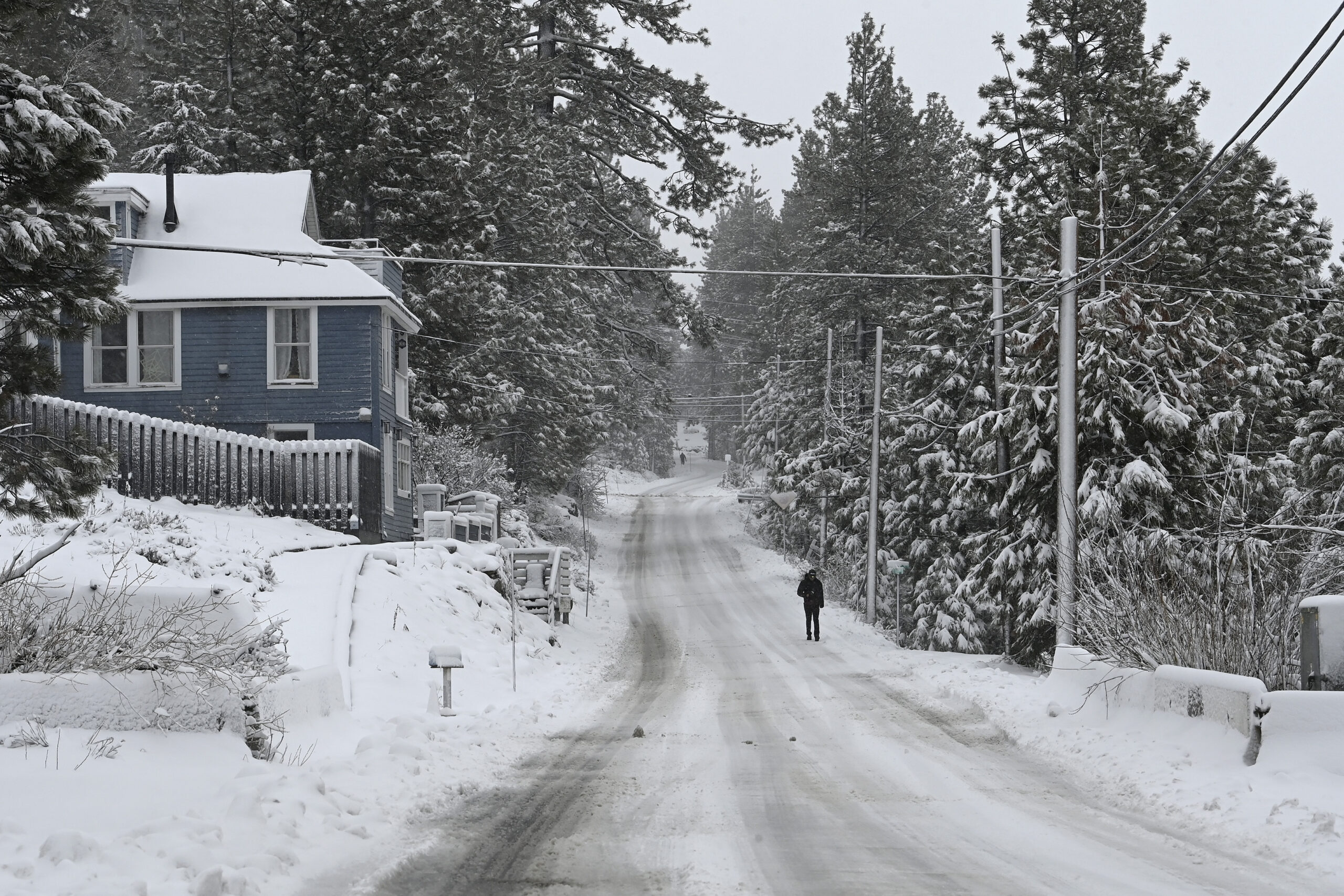
A powerful blizzard that has dumped huge amounts of snow in the Sierra Nevada mountains will continue to slam the region through Sunday, bringing more snow and damaging winds as a second “weaker” system is expected to bring additional snow Monday.
The dayslong storm that has caused treacherous white-out conditions due to its hefty wind gusts has shuttered national parks, ski resorts and parts of a major California interstate.
Up to 10 feet of snow was expected to slam high-elevation areas, creating a “life-threatening concern” for Lake Tahoe residents, National Weather Service meteorologist William Churchill said.
The region should see between five and 12 feet of snow by Sunday evening, with areas at higher elevations at a greater risk of more snow, while lower elevations will likely be flooded with heavy rain, Churchill told the Associated Press.
Even in areas where the snow isn’t as heavy, there are still wind gusts of over 50 mph impacting millions of people from California to Colorado.
While the brunt of the storm is expected to pass by Sunday evening, a second “weaker” system is forecast to move through the region Monday through Wednesday, the National Weather Service in Sacramento warned.
“An additional 1 to 2 feet of snow is currently forecast to fall, which may hamper blizzard recovery efforts in the mounts,” the NWS said.
Winter alerts are in effect in nine states in the West as “extremely heavy snow rates” of 2 to 6 inches per hour were forecast by the NWS. Snowfall totals could reach up to 12 feet by Wednesday following the second expected storm coming at the start of the work week.
Click here to read full article at New York Post.